


Helicopter vs Overland Kailash Mansarovar: Which Route is Right for You
-
 Bold Himalaya
 -
30 November, 2025
-
23 mins read
-
513 Views
-
0 Comments
The choice between Helicopter vs Overland Kailash Mansarovar catches almost every traveler at once right after they’ve booked tickets to Kathmandu, sorted permits, or picked up equipment. Getting to Mount Kailash can go two ways. Some take choppers flying over high mountain gaps. Others head off on rough road trips across Tibet’s flat, open land. They both finish at a holy peak. But how do you get there? Totally different paths instead.
Understanding the Two Main Routes: Helicopter vs Overland Kailash Mansarovar
Most foreign travelers start in Kathmandu, no matter which path they choose. The city acts as the starting point for trips to Kailash. After that, options branch out differently. One option flies west through Nepali towns – Simikot first, then Hilsa close to Tibet’s edge. Another route drives north via Kerung into Tibet, then heads west over rugged highlands, passes Saga, and reaches Mansarovar Lake later.
One way isn’t clearly better than the other. They fit separate situations. How much time do you have? Your energy level. Cash on hand. Whether you’re okay with unclear outcomes – stuff like that picks the right option.
The Helicopter Route
Travelers can reach Kailash Mansarovar via helicopter, saving days of road travel and tackling the thin-air journey more comfortably. From Kathmandu, there are three main helicopter route options:
- Western Route (Nepal Side: Simikot → Hilsa)
- Eastern Route (Kathmandu → Kerung / Gyirong)
- Kodari Route (Kathmandu → Kodari Border)
Western Route (Nepal Side: Simikot → Hilsa)
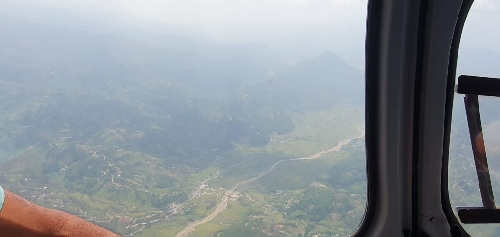
Head to Kailash Mansarovar using a helicopter. Start in Kathmandu, then either ride a vehicle or hop on a quick plane to Nepalgunj – a spot in western Nepal close to India’s edge. Instead of driving further, grab a tiny airplane from there that heads to Simikot, which is tucked away high up at 2,910 meters in the Humla zone. This leg takes around 45 minutes to one full hour, twisting through mountains while showing off jaw-dropping sights of Nepal’s far-off peaks.
Acclimatization in Simikot
Simikot sits at a height where oxygen is low, so your body might need time to adapt. Because of this, many plans let travelers spend a night here, just to get used to breathing easier up high. Jumping higher too fast can be hard, which is why pausing makes sense.
Helicopter Ride to Hilsa
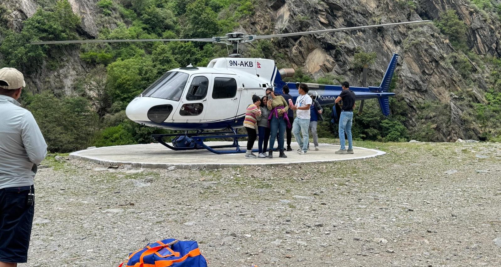
From Simikot, the journey shifts to choppers. These private rides haul people up to Hilsa – a speck of a village sitting at 3,640 meters, smack on the Nepal-China border. It’s a hop that lasts about twenty-five minutes, skipping what’d otherwise take several tough days on foot. The copters are compact – usually packed with five folks max, since thin air saps engine power. If you’re traveling in big numbers, expect delays; shuttling each batch means repeated back-and-forth runs.
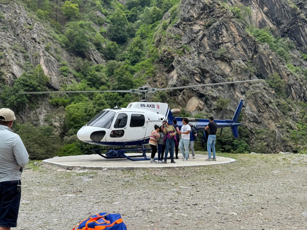
Entering Tibet and Reaching Purang
Landing in Hilsa drops pilgrims close to the Nepal-Tibet border gate. Over the Karnali River, a hanging bridge shows where the countries split. Past Nepali checks, they move on foot toward Chinese officers handling entry. When forms are done, rides sit ready to carry travelers onward – Purang waits ahead, known as Taklakot – a trading spot tucked into Tibet’s high ground, roughly 27 clicks from the line at 4,025 meters up.
Purang’s your initial real break once you hit Tibet. A lot of chopper trips toss in a full downtime day here, so folks can get used to the thin air. You go from Nepalgunj – just 152 meters up – to over 4,000 meters fast, usually within about forty-eight hours. Climbing that quickly really takes a toll on most people’s systems. Well-planned schedules leave room to adapt.
Journey to Lake Mansarovar and Darchen
From Purang, you drive on toward Lake Mansarovar – about 95 km, which takes 2 or 3 hours, depending on how rough the roads are. After traveling for days, spotting Mansarovar suddenly stirs deep feelings in most people. This holy lake spreads wide and shines an unreal shade of blue up at 4,590 meters, with Mount Kailash standing clear behind it.
Folks carry out age-old customs by the Mansarovar. They bathe in icy water, numbing but revered. Prayers echo near the shoreline each morning. A common route follows the lake’s edge – driving the full loop, around ninety kilometers, taking close to three hours, pausing where stories run deep.
From Mansarovar, ride head-on toward Darchen – roughly an hour up to 4,560 meters – a tiny spot that acts as a launchpad for the Mount Kailash trek. All prior stops? Just build up. Hiking the loop over three days circles the sacred peak, hitting the soul-high moment of the trip.
Duration
The chopper trip usually takes 9 to 14 days altogether, based on whether travelers walk the whole Kailash loop or simply go for darshan – just seeing the peak – as part of their journey.
Eastern Route (Kathmandu → Kerung/Gyirong) – Helicopter Access Route to Kailash Mansarovar
The Eastern Route from Kathmandu to Kerung/Gyirong is one of the most reliable and frequently chosen pathways for the Kailash Mansarovar Yatra via helicopter. This route connects Nepal’s capital to the Tibetan border, offering a faster and more comfortable entry point for travellers heading towards Mount Kailash and Lake Mansarovar. The journey begins with a scenic flight or drive from Kathmandu to Kerung/Gyirong, where travellers complete immigration and acclimatization before continuing towards Saga and eventually Mount Kailash.
Choosing the Kathmandu to Kerung/Gyirong helicopter route is ideal for pilgrims seeking reduced travel time and smoother elevation gain. Kerung, located at an altitude of around 2,700–2,900m, provides the first acclimatization point, allowing travellers to adjust before ascending towards Mansarovar and Darchen. With shorter transfers, easier crossings, and growing infrastructure on the Tibetan side, this route has become one of the most accessible pathways for the Kailash Mansarovar Yatra.
After Reaching Kerung/Gyirong – How to Reach Kailash Mansarovar
Once you land in Kerung/Gyirong via helicopter from Kathmandu, the rest of the journey to Kailash Mansarovar continues overland by road. Helicopters only operate up to the Nepal–Tibet border, so the pilgrimage ahead involves a drive along Tibetan highways, followed by the traditional Kailash Parikrama trek.
Step-by-Step Route After Gyirong
- Gyirong → Saga
- First major stop inside Tibet
- Approx. 4-5 hours drive
- Ideal to rest and acclimatize for high altitude
- Saga → Lake Mansarovar
- Long, scenic drive through the Tibetan plateau
- Approx. 8–9 hours
- First spiritual milestone: holy bath, meditation, puja rituals
- Mansarovar → Darchen (Base of Mount Kailash)
- A short drive of 1–1.5 hours,
- Darchen is the starting point of the Kailash Parikrama (Kora)
- Once you reach Darchen, the 3-day Parikrama (circumambulation) begins

Kodari Route (Kathmandu → Kodari Border) – Eastern Access Point for Kailash Mansarovar
The Kodari Route is one of the oldest gateways connecting Nepal with Tibet, historically used for trade and later as a travel corridor towards Mount Kailash and Lake Mansarovar. This route begins from Kathmandu and extends to the Kodari Border (Nepal side), opposite Zhangmu (Tibet side). Although this crossing has seen periods of closure and limited movement due to past road damage, it remains recognized as a potential access route for the Kailash Mansarovar Yatra once operational and permitted by authorities.
Helicopter Possibility from Kathmandu to Kodari
Helicopter travel is not a regular service, but private charter flights can be arranged. This makes the Kodari route faster than ground travel—especially for travellers who wish to shorten road hours and reach the border region quickly.
Helicopter option basics:
- Kathmandu → Kodari Border (Private charter)
- Approx flight time: 25–40 minutes
- Weather, airspace clearance & permits required
- Needs booking with an authorized helicopter operator
Travel Progression (After Reaching Kodari)
Once you reach Kodari, the journey continues overland into Tibet. The usual flow looks like this (once border operations are active):
- Kodari → Zhangmu (Tibet Entry Point)
- Immigration & permit verification
- Road transfer begins inside Tibet
- Zhangmu → Saga
- 7–10 hour drive depending on road conditions
- Acclimatization night halt
- Saga → Lake Mansarovar
- Expansive plateau drive with gradual ascent
- Lake Mansarovar → Darchen
- Base point for Kailash Kora (Parikrama)
From Darchen, the 3-day Parikrama of Mount Kailash begins. Also read about The Four Sacred Faces of Mount Kailash
The Overland Route: Traditional Approach
What’s the path for the Kailash Mansarovar trip? Travelers driving from Kathmandu take a slower, steadier road. Many teams stay 2 or 3 days in the city sorting papers while checking out holy spots such as Pashupatinath and Boudhanath. After that, buses move up through Nepal’s highlands heading north to Rasuwagadhi at the frontier.
Kathmandu to Rasuwagadhi
The journey from Kathmandu to Rasuwagadhi lasts around 6 or 8 hours, stretching across nearly 150 km of rougher terrain that gets tougher as you go. You’ll move along Langtang National Park, where views of snowy summits pop up between layered farmlands on slopes. At about 2,300 meters high, Rasuwagadhi isn’t way above Kathmandu’s 1,350-meter mark – so the climb feels gradual.
Crossing into Tibet via Kerung
Travelers often wait many hours at the Rasuwagadhi-Kerung crossing. After passing, visitors enter Tibet through Kerung – sometimes known as Kyirong – a modest frontier settlement sitting at 2,700 meters. Spending the night here helps bodies start adjusting to altitude. Though high by some standards, this height is mild for Tibetan regions, so it eases the shift.
Many trip plans have one complete break day in Kerung. Instead of pushing on, people take brief walks up higher by day but head back down to rest for the night. By doing this, their bodies slowly start making extra red blood cells while tuning how they use energy in low oxygen settings.
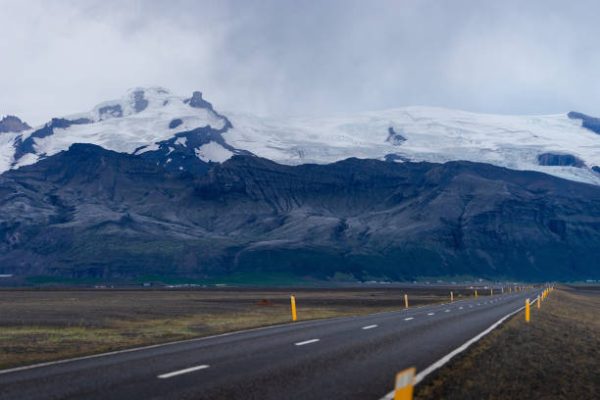
Saga and Highland Scenery
From Kerung, the road trip to Saga lasts about seven hours – over 200 km of rough terrain. The scenery shifts fast as you go; lush green valleys fade into wide open plateaus. You’ll spot yaks wandering across highland fields along with small tent camps. At 4,500 meters, Saga’s altitude hits hard, so spending another night there helps your body adjust.
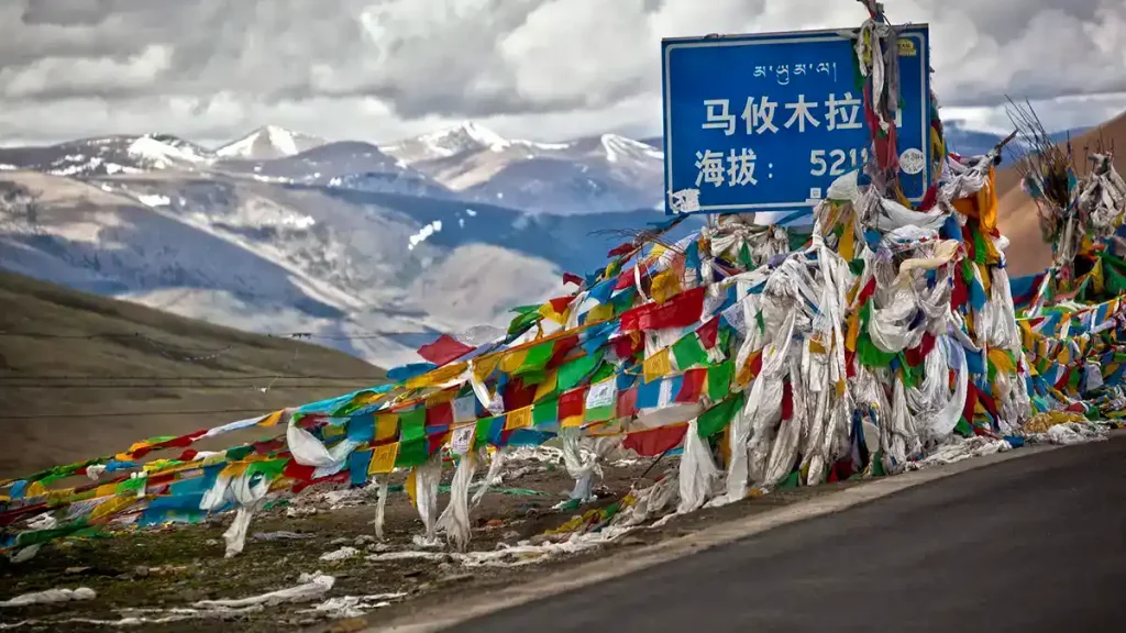
Mayum La Pass and Arrival at Mansarovar
The next evening in Saga gives you more time to settle ahead of the last stretch. Out of Saga, the rides go west toward Lake Mansarovar, climbing over Mayum La Pass, sitting at 5,211 meters. You’ll likely see Mount Kailash once you start dropping down from that high point. Most travelers notice Rakshastal – the so-called demon lake – before spotting Mansarovar, with Kailash towering behind it. Everything goes quiet when it appears. After waiting through days of travel, plenty of people tear up at the sight.
Over at Mansarovar, things unfold just like on the chopper path – bathing in holy water comes first. After that, folks do prayers by tradition. If schedules line up, they circle the lake by vehicle. Later, a one-hour ride takes everyone to Darchen. That’s where the trek around Mount Kailash kicks off.
The land path usually takes 13–15 days, offering a slower climb in height along with richer exposure to Tibet’s scenery or way of life.
Comparing Key Factors: Helicopter Route vs Overland Kailash Mansarovar Route
When considering the Helicopter vs Overland Kailash Mansarovar, travelers often wonder which path suits their schedule and stamina best.
Time Required
- The helicopter route to Kailash Mansarovar is the faster option, usually completed within 9–14 days, depending on whether the full Kailash Kora is included.
- In comparison, the overland (land) route takes 13–15 days, and in extended itineraries, it may stretch up to 18 days.
Who prefers which?
- Travellers with limited leave—especially working professionals—generally choose the helicopter route to save time.
- Senior pilgrims or those who enjoy slow travel and wish to experience the road journey often choose the overland route, valuing the gradual pace and scenic drive.
Altitude Acclimatization
Altitude adjustment is one of the most important factors to consider when choosing between helicopter and overland routes.
Helicopter Route
The ascent is very rapid. Travellers move from Nepalgunj (152m) to Purang (4,000m+) in just about two days.
Because the climb is so sudden, the chances of altitude-related discomfort increase significantly. Even though most itineraries include a rest day in Purang, the body often does not get enough time to adapt before continuing toward Mansarovar (4,590m) and Darchen (4,560m).
Fast ascent = higher risk of altitude stress.
Overland Route
The elevation rises gradually over several days:
Kathmandu (1,350m) → Rasuwagadhi (2,300m) → Kerung (2,700m) → Saga (4,500m) → Mansarovar (4,600m)
Each stop helps the body adjust step-by-step. A rest day in Kerung or Saga often makes the transition smoother, and most travelers report fewer altitude issues when travelling by road.
Slow climb = better acclimatization.
Individual Response Varies
Altitude affects everyone differently. Being physically fit doesn’t guarantee comfort at high elevations—some athletes struggle, while older pilgrims manage surprisingly well. The helicopter route increases the risk simply because the body gets less time to adapt compared to a gradual drive.
In short:
- Helicopter = quick but higher altitude risk
- Overland = slower but safer for adaptation
Physical Demands
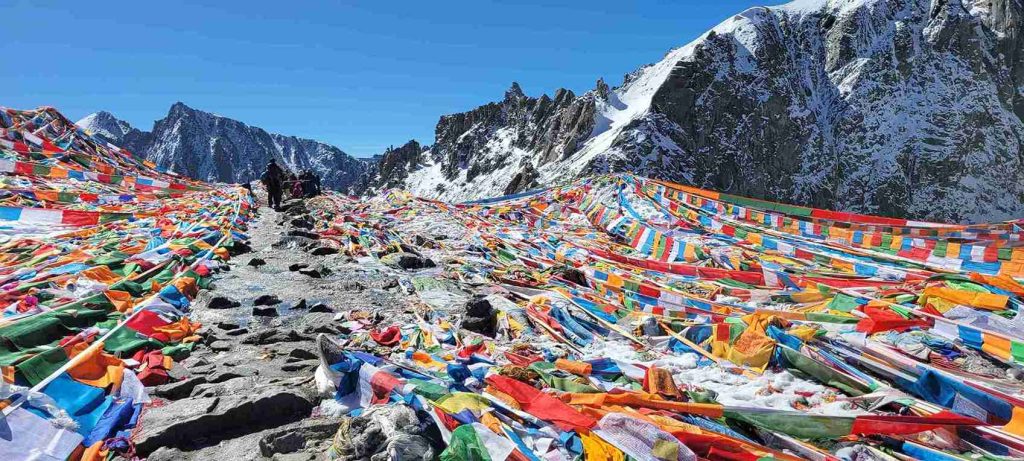
No matter which route is chosen, both ultimately lead to the same challenge, the three-day Kailash Kora. This 52 km high-altitude trek, crossing Dolma La Pass at 5,630m, tests every pilgrim, whether they arrive by road or helicopter.
Helicopter Route
The helicopter route keeps the days before and after the trek relatively easy, with most movement done by air or vehicle, and only short walks here and there. This means the major physical effort comes all at once during the Kora itself.
For many, it feels intense and concentrated—great for strong, active travelers who prefer a shorter but more demanding burst of effort.
Overland Route
The land journey spreads physical strain over a longer period. Long hours of driving, bumpy roads, and gradual exposure to thinner air create slow, steady fatigue instead of a single intense push.
It doesn’t eliminate difficulty, but it simply distributes it across multiple days.
Weather Dependency
Weather is a major factor that distinguishes the helicopter and overland routes.
Helicopter Route
- Flights are highly dependent on weather conditions.
- Mountain weather changes rapidly: sunny at sunrise, but clouds or storms may appear by noon.
- Fog, strong winds, or storms can ground helicopters completely.
- Delays are common—pilots may wait in Simikot or Hilsa for clear skies, sometimes for days.
- Emergency charters or rescheduling may increase costs and disrupt the itinerary.
Overland Route
- Road travel is affected by rain or snow, but vehicles can usually continue through challenging conditions.
- Roads may become slow or bumpy, but the journey generally stays on schedule.
- Overland travel offers more predictable timing compared to chopper flights, even in adverse weather.
Cost Considerations
What’s the price for the 2025 Kailash Mansarovar trip? It depends – routes differ, so do prices. Operator choice changes things. Higher comfort means higher fees.
Helicopter trips usually cost between ₹2.5 and 4 lakh per traveler. Going by chopper from Simikot to Hilsa takes up much of that price. If you pay ₹4 lakh or more, top companies give nicer stays, better food, extra oxygen, along with added crew help.
Travel by road sets you back between ₹1.5 and 2.5 lakh for basic or mid-range plans – though high-end options start at ₹3 lakh. Since moving vehicles is less pricey than booking a chopper, costs begin lower.
Fees pop up on either path you pick. Renting a horse or pony for the Kora? That’s between ₹2,500 and ₹4,000 each day. Porters ask for ₹1,500 to ₹2,500 every single day. Gear for yourself could tack on another ₹10,000–₹30,000. Then again, tipping guides, porters, plus drivers usually lands around ₹5,000 to ₹10,000. Keep a backup of ₹20,000–50,000 – just in case. For trips involving high climbs, get solid coverage; that’ll run you ₹2,000 up to 5,000.
Budget-minded travelers usually go for land paths – yet those who’d rather save hours than cash tend to pick choppers instead.
Cultural Immersion
The overland path gives a much deeper look into local culture. Traveling through Tibet by road shows you nomads, yaks, old villages, along with endless elevated terrain. Pausing in tiny towns means chatting with ethnic Tibetan people up close. Each mile on the move turns into a kind of spiritual trek.
The chopper path cuts down travel time. But you miss out on Tibetan life along the way. Not much chance to adapt slowly – going straight into high-altitude Tibet shocks the body. A few travelers like how fast it is. Still, others think bypassing that slow climb means losing a meaningful part of the journey.
Addressing Common Questions
How do you get to Mansarovar the easiest way?
There isn’t one perfect path. Your ideal way hinges on your own situation.
Go for a helicopter when your trip’s around 10 to 14 days tops – assuming you’re okay with steep prices, don’t mind that flights depend on weather, feel fine about fast climbs in elevation, yet care more about saving time than soaking in the route.
Go for overland when you’ve got at least two weeks, since it allows slow altitude adjustment while offering richer local experiences. Pick this route if steady timing matters more than speed, especially on a tighter budget – flexibility meets routine without rush.
What is the new route to Kailash Mansarovar?
The latest update? India is building a road from Ghatiabgarh up to Lipulekh Pass in Uttarakhand. When it finishes – maybe by 2026 or later – drivers can take vehicles along much of the old pilgrimage trail there, cutting down what’s now a 22-to-25-day trek. But here’s the catch: only Indian nationals get access, picked via a state-run lottery.
Out-of-country visitors still mostly use paths starting in Kathmandu. The chopper way isn’t fresh; it’s been around a while – same goes for the land path from the city, which also runs on updated schedules after gradual tweaks over time. Know more about Sacred Kailash Mansarovar Yatra: Officially Reopened for Indian Passport Holders
Can a helicopter fly over Kailash?
True in theory – yet not in real life or by law. While choppers can climb high enough to pass close to Kailash, Beijing bans any air tours above it. That peak is holy ground for four major faiths. Going over the top might upset deep beliefs.
Some chopper tours start from Lucknow or Nepalgunj, giving distant sky-level looks at Kailash. While these trips loop around, they don’t fly right above the peak. Instead, they help travelers who can’t make the full trek – maybe because of fitness issues or tight schedules.
Did China send a helicopter to Mount Kailash?
No proof shows China flying helicopters to Mount Kailash for unusual reasons. Sometimes, choppers go there – mainly for medical rescues or state tasks – but such trips happen infrequently; they’re practical, not meant for visitors or rituals.
The query could come from mixing things up with chopper rides heading toward Hilsa near the Nepal-China frontier. These flights touch down far from Kailash – people switch to vehicles for the last leg uphill.
What did NASA see on Kailash?
NASA hasn’t shared anything specific about Mount Kailash. Despite online rumors, there’s no proof they found strange energy patterns near it. Some say the mountain is a global power spot – this isn’t backed by evidence. Such tales spread fast but belong more to legend than science.
NASA’s satellites snap pics of Kailash while scanning Earth – just another bump on the map. It shows up in terrain shots or overhead views, yet gets no extra focus compared to nearby peaks.
The mountain matters more in spirit than in facts. Yet four faiths see it as holy ground. Still, this deep meaning doesn’t depend on proof from rocket scientists.
What is the best time to visit Kailash Mansarovar?
The Kailash Yatra is typically open from May to September, depending on weather conditions at Dolma La Pass. Outside these months, heavy snow makes trekking dangerous or impossible.
Spring — May to June
- The journey season typically begins in May, once winter snows melt and passes (including high passes like Dolma La Pass) start getting accessible.
- Daytime weather tends to be milder, with clearer skies and better visibility of peaks and landscapes.
- There are fewer crowds compared to peak summer months, which means peaceful trekking, easier accommodation, and a quieter spiritual atmosphere.
- This period often coincides with the Buddhist festival Saga Dawa Festival, observed in May–June, offering a richer cultural/spiritual experience.
Summer – July to August
- All main routes to Kailash are generally open in this period. Snow has mostly melted, passes are clear, and conditions are stable for travel.
- Temperatures during the day tend to be warmer, making trekking and driving more comfortable (though nights remain cold).
- The landscape around Mansarovar and the Tibetan plateau becomes vibrant, with striking views and a lush backdrop.
Considerations: Occasional rain / cloud cover — especially near border regions on the Nepal side — can make road travel or flights slightly unpredictable.
Early Autumn – September (sometimes into Early October)
- After summer and monsoon, skies often turn crisp and clear, with excellent visibility — ideal for scenic views and photography.
- Trails and roads remain accessible; lower crowd density compared to peak summer months gives a calmer, more intimate pilgrimage experience.
- Cooler daytime temperatures, clear skies, and vibrant autumn atmosphere make this a very peaceful and scenic time.
The Three-Day Kora: The Same Challenge for Both Routes
Regardless of whether you travel by helicopter or overland, every pilgrim faces the three-day loop around Mount Kailash, a 52 km trek that circles the sacred peak. This is the heart of the journey and the most meaningful part for most travelers.
Day 1: Darchen → Dirapuk Monastery (13 km)
- The trek begins in Darchen, passing through Yam Dwar, and reaching Dirapuk Monastery (5,080 m).
- The trail gradually climbs through a valley and is considered moderate, offering time to adjust to the altitude.
Day 2: Dirapuk → Dolma La Pass → Zuthulphuk (22 km)
- This is the most challenging day.
- Hikers ascend Dolma La Pass (5,630 m) and descend to Zuthulphuk (4,790 m), which takes 9–12 hours.
- Many teams start very early (3–5 AM), navigating dark trails with headlamps.
- Thin air slows movement, and the steep descent strains joints, making it physically demanding.

Day 3: Zuthulphuk → Darchen (14 km)
- The final day is easier, with gentle slopes leading back to Darchen.
- This stage provides time to reflect on the journey and absorb the spiritual significance of the Kora.
No matter how you get there, everyone who does the trek takes on the three-day loop around Kailash. The 52-km path circles the foot of the mountain – this is what makes the trip meaningful for most people.
Support Options
- Horses or ponies are available for Day 1 and Day 3.
- Day 2 requires hiking due to the steep, uneven terrain of Dolma La Pass.
- Some older travelers or those struggling with altitude may ride horses or ponies on shorter sections to reduce strain while still completing the sacred route.
Start your journey strong! Begin your physical preparation today to make your Kailash Mansarovar Yatra safe, enjoyable, and unforgettable. Train your body, build endurance, and step closer to the spiritual adventure of a lifetime!
Making Your Decision
The decision from helicopters or ground travel changes how you see Kailash Mansarovar completely. One doesn’t promise inner change, just like the other won’t either. Challenges stick around no matter which path you pick. Each way brings you to that one revered peak, that pure alpine lake, a three-day loop pushing your strength and soul alike.
Time & Risk Considerations
Be real about how much time you’ve got. If you’ve ten days, a chopper trip works fine. In three weeks, try going by land instead. Think about how much risk you’re okay with. When storms mess up careful schedules, it gets annoying. Worries about altitude? Go slow on land instead.
Budget & Costs
Look at what you can actually afford. Flying by helicopter runs way higher in price. This cash could go toward something else instead – or maybe it’s worth it just to save hours. Either choice depends on your priorities.
Trip Experience & Spiritual Journey
Picture the trip you’d like. A fast, direct visit to a holy place – then head back. Or take your time soaking up the wide open spaces of Tibet, its people, its rhythm – while quietly getting ready inside.
The mountain stays put no matter what. Lake Mansarovar shows the sky, even if you come by chopper or car. Prayer flags keep waving at Dolma La Pass, however you get there.
Reaching the end means more than anything else. Folks from four faiths see Kailash Mansarovar as their biggest dream, spiritually speaking. You might fly in by chopper or trek through land routes instead. The trip could last ten days or stretch into three weeks. Costs may hit two lakhs or even climb past four. Still, standing near Mount Kailash and walking the full circle changes something deep inside.
Preparation & Journey Steps
Pick the path that fits your situation. Think ahead before you start. Get your body ready for what’s coming. Take high elevations seriously – don’t ignore them. Bring equipment that actually works for the conditions. After that, just move.
Start in Kathmandu, under fluttering prayer flags at Boudhanath. Cross Nepal’s hills toward Simikot or head north to Kerung. Enter Tibet’s vast, rising terrain and reach Purang, where the elevated Tibetan landscape unfolds. Move on to Lake Mansarovar, then Darchen. Step into Yam Dwar, beginning a journey that changes anyone who completes it.
The road you pick isn’t as big a deal as why you’re walking it. Even though Mount Kailash has been there for half a hundred million years, it still stays. Chances are, it’ll keep standing just as long from now. What trail you follow means almost nothing next to its endless quiet.
Comments (0)
Write a comment- Understanding the Two Main Routes: Helicopter vs Overland Kailash Mansarovar
- The Helicopter Route
- The Overland Route: Traditional Approach
- Comparing Key Factors: Helicopter Route vs Overland Kailash Mansarovar Route
- Addressing Common Questions
- The Three-Day Kora: The Same Challenge for Both Routes
- Making Your Decision
Read the latest Blogs & Insights
Explore our collection of articles and insights to gain in-depth travel knowledge, expert advice, and stay updated on the latest trends and tips.
View All Articles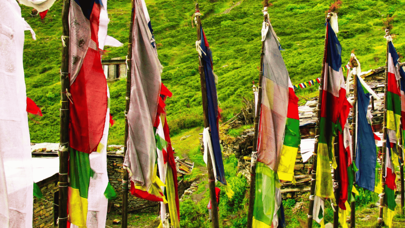
Top 10 Best Treks in the World
30 Apr. 2026

No comments yet.